The Project - Below the Skye Line
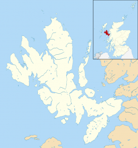
 The Isle of Skye is one of the most photographed islands in the world. Its rugged mountain terrain, beaches and sea cliffs combine to provide an inspirational collection of stunning vistas and landscapes all available in a comparatively small area of land to be found off the North West coast of scotland.
Water helps make Skye what it is. It is not called the Misty Isle for nothing it is often the low cloud that creates the mood that makes an image of the Quiraing or the Old Man of Storr so evocative. The winter light is spectacular and has helped make many an image of the lighthouse at Neist Point a masterpiece or provided the angled golden light across the Cuillin when viewed from Elgol. After heavy rains the burns crash down from the mountains and the Waterfalls can be amazing, many easily viewed from the road.
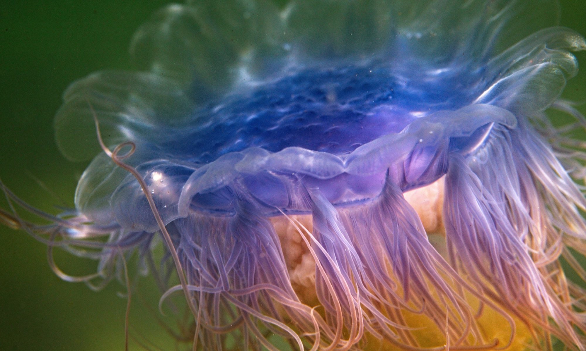
However, what is not easily viewed is the world and life of Skye that is below the waterline, whether in the rivers, the freshwater lochs or the coastline and sea lochs which form the litoral. The purpose of the Below the Skye Line project is to create images that do justice to the abundant and vibrant natural world that is every much a part of the Isle of Skye but is often hidden just below the surface of the water.
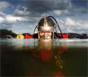
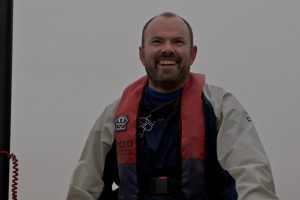
The project is a collabortation between two photograpghers, Gill & Geraint, who both live on Skye and share a passion for its environment.
Image contains Ordnance Survey data © Crown copyright and database right [CC BY-SA 3.0 (https://creativecommons.org/licenses/by-sa/3.0)]


